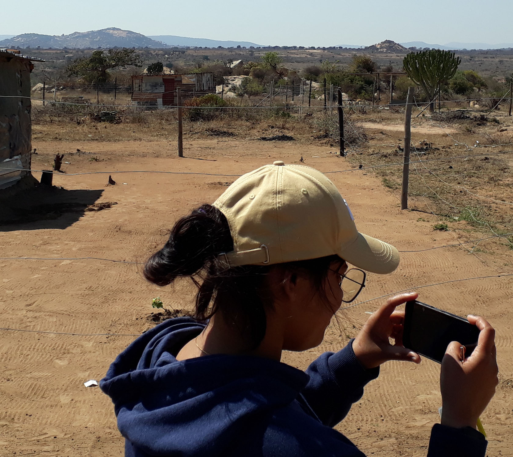
The title of her PhD thesis reads „Analyzing Peri-Urbanization and Land-Based Livelihoods in Mankweng, Limpopo (South Africa): A Remote Sensing Approach towards a Strategic Framework for Sustainable Livelihoods“. The work involved combines four tasks: 1. Ground Truthing which enabled the interpretation of the very-high-resolution satellite imagery as well as the building of understanding on how land-based livelihood functions in the study area. 2. The object-based image analysis (OBIA) by means of eCognition of the peri-urban part of the township Mankweng and surroundings. 3. The derivation of a land-based livelihood typology with the help of landscape metrics based on the satellite image classification. And 4. the development of scenarios and possible adaptive transformation pathways for the study area using the results of participatory stakeholder workshops (attended by women and institutional actors).
Being originally from India, Deepthi Patric mastered the many challenges well. Although she had spent a few months in Germany already, a lot was new to her: Karlsruhe, aiming at a German ‘Doktortitel’, the study area in South Africa, cooperation with the project partners from University of Pretoria and University of Limpopo and as well as communication with the local people. Arriving with a lot of motivation and a solid training as a geographer she surely conquered Mankweng with a wide heart. A bigger challenge was the tedious work on the WorldView 3 satellite imagery covering 200 km² in 0.3 m resolution after pan-sharpening. Here she introduced a new semi-automatic approach and managed to distinguish between 38 land use/cover (LUC) classes, which readily revealed differences across the peri-urban landscape. The LUC classes built the base to derive landscape metrics which were used as proxies to infer locally relevant land-based livelihood characteristics to then finally distinguish between 14 meaningful land-based livelihood types. Not using geodata processing, contrary the final task of pathway-linked scenarios required Deepthi to combine her system knowledge on peri-urban land-based livelihood in the study area, which she had accumulated over time, in an adaptive pathway grid, interleaving it then with the many actions for transformation as pointed out during the stakeholder workshops. As such the PhD work is truly interdisciplinary in nature using four distinct approaches and provides solid information on a special case of a very diverse peri-urban mosaic in a former homeland area of South Africa, which is constantly changing and still expanding. The outcome could be useful in the urgently needed planning and development of neighbourhoods in Mankweng and environs.
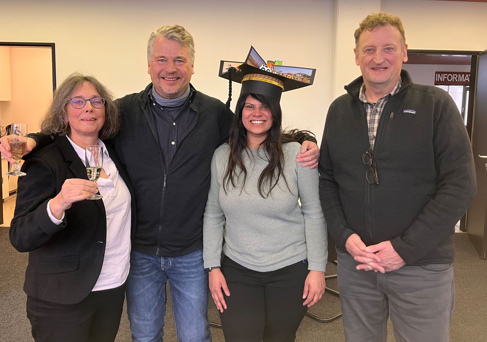
Overall, Deepthi Patric’s work forms a major part of the WoPedyP project results, of which she can be as proud as of achieving the Dr.-title. While the certificate is just a formality – a matter of a few weeks, publishing the results in scientific journals is still pending. Certainly, working on a PhD as tightly knitted into an integrated project framework can be challenging at times, but it also brings along joint excitement, success and fun. The WoPedyP team thanks Deepthi for having taken a big part in all of that.