Hochschule KarlsruheHochschule Karlsruhe - University of Applied Sciences
student flying a quadrocopter

Geodesy and Navigation

Profile Content Internship & studying abroad Career prospects

Career prospects

Upon completion of the Bachelor's degree, most graduates directly enter working life. Career prospects are excellent both in the public sector and in the private sector.

If interested, graduates can also continue their studies in a subsequent Master's program, e.g. in the international Master's program in Geomatics at Karlsruhe University of Applied Sciences.

two engineers working at PCs
Career prospects in engineering offices

Engineering offices for surveying can be found in the larger municipalities. They are always headed by surveyors. Most of the smaller offices are dedicated to tasks in construction or land surveying, or they specialize in particular fields of activity such as railroad surveying. Large offices may also provide surveying services for major national and international projects. Many engineering offices create and maintain geographic information systems for municipalities and regions as well as for large industrial companies.


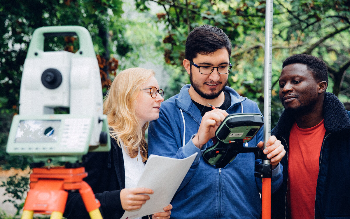
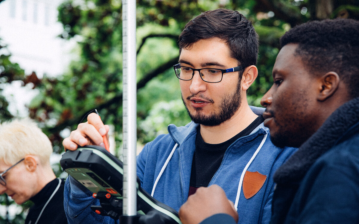
specialists taking measurements in the field with hand-held device
Surveyors at public authorities, and civil service careers

Surveying authorities perform sovereign tasks, especially the surveying and documentation of property boundaries, and are involved in the planning tasks of municipalities and regions.

In Baden-Württemberg, all regions and many cities have established offices for surveying, geo-information and land management. In other federal states, the term cadastral office is often used.

Each federal state also has a central surveying authority, a state surveying office. This continuously updates topographic maps, maintains base stations for satellite navigation, sets up overarching geo-information systems and performs many other central functions.

specialists taking measurements in the field with hand-held device
Entering a career in the civil service

Graduates of the Bachelor's degree program in Geodesy and Navigation have the opportunity to complete the preparatory service for the higher administration service in surveying and pursue a career as a civil servant. They then work, for example, in official surveying and in keeping up the geo-information systems of a region as a surveying inspector.

Those who complete a suitable Master's degree program after graduating with a Bachelor's degree, e.g., Geomatics at Karlsruhe University of Applied Sciences, acquire entry-level qualifications for the higher surveying administrative service and can advance to the position of head of a surveying office.

people working at computers
Jobs for geodesists in companies

Geodesists work in infrastructure and facility management in large industrial companies, energy suppliers and network operators. They carry out surveys, set up and maintain documentation systems, and prepare the results according to the company's requirements.

In planning and consulting companies, engineers from different disciplines work together. Here, geodesists can contribute their expertise in the application of information systems, in the implementation of land readjustment procedures and in data preparation.

In mechanical engineering and automotive companies, surveyors are increasingly involved in quality control, precision surveying, and statistical analysis. Some specialized engineering firms also provide services in this area.

Downloads

Training paths in surveying and land development
(Info picture in German)

Related links

Instagram Weltvermesserer (dt.)

YouTube: Aufgabenfelder (dt.)

YouTube: Zukunftsaussichten (dt.)

Masters course Geomatics

Organization & exams