Geomatics
International Master’s program in Geomatics
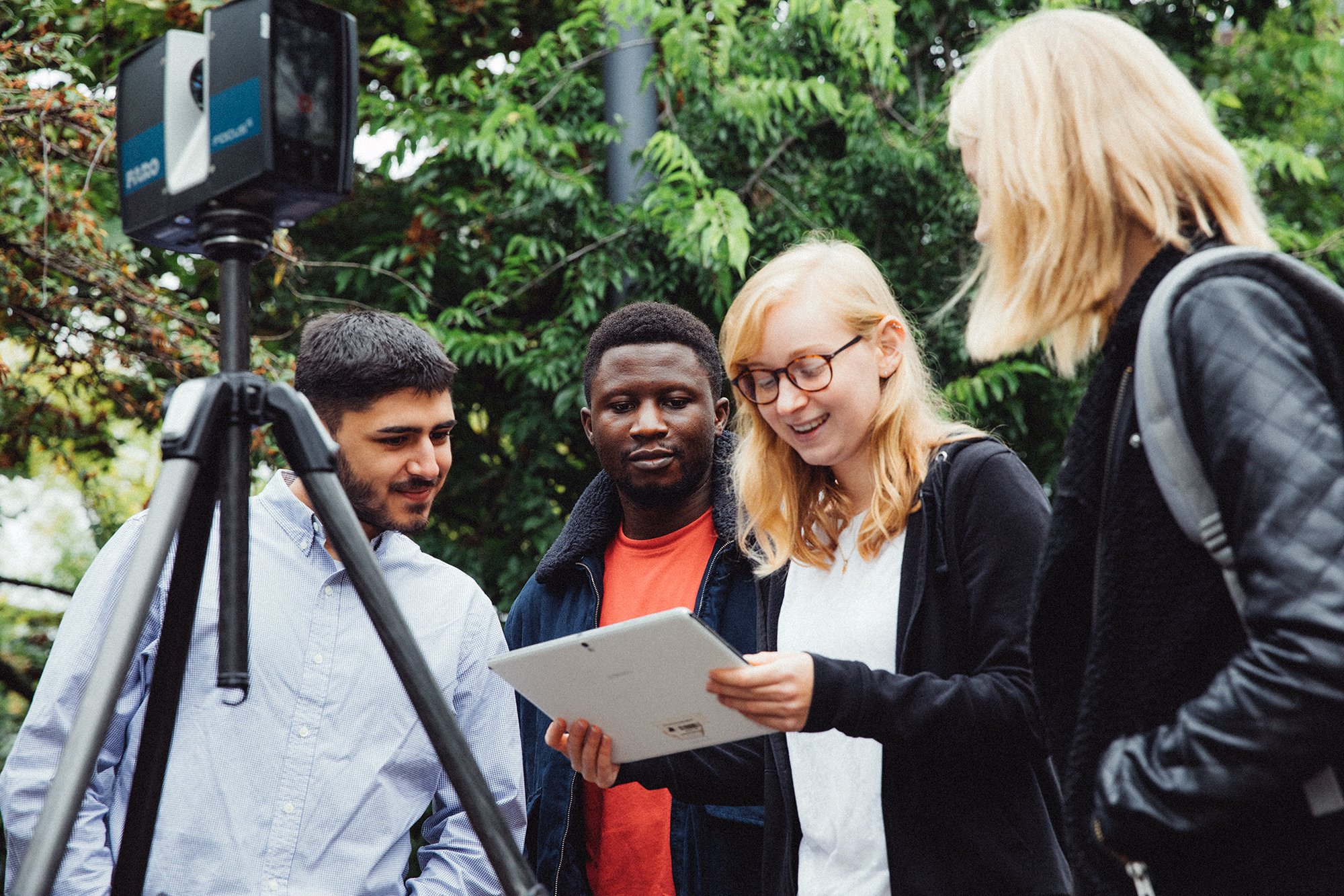
Geomatics is a modern, self-contained geo-information, geoscience, engineering, and ICT-related discipline. It deals with the acquisition, processing, modelling, analysis, and visualization of spatially referenced data. This concerns the geometry as well as physical and socioeconomic features of our Earth, spatial information infrastructures of the built and natural environment, and the simulation of geospatial processes. The data originates from many different sources, including satellites, air and seaborne sensors, ground-based measurements, surveys and statistics, and maps. Today’s techniques make extensive use of GNSS, often involving the crowd.
The data is processed with state-of-the-art information and communication technologies (ICT), often in geographical informationsystems (GIS) and based on a broad spectrum of mathematical algorithms and models. Thus, Geomatics plays an important role in products and services, which depend on geospatial data and spatial computing. Nowadays it has an impact on numerous disciplines including environmental management, land development and planning, engineering, geo- and life sciences, traffic, logistics, and utilities.
The provision and analysis of geoinformation as well as the monitoring of the environment, planning, engineering and geosciences, navigation technologies, mobile GIS, land development and management, the geodetic skills of setting up global reference systems and the georeferencing of local objects as well as the geoinformation generated from them play a key role for society, industry and the economy. Graduates find jobs in specialist and administrative authorities, in the private sector, at universities (PhD) and at research institutions.
At a glance
| Degree | Master of Science (M. Sc.) |
| Application deadline | 01.03./15.09. |
| Start Of Study | Winter semester & Summer semester |
| ECTS Credits | 90 in total |
| Standard Period Of Study | 3 semesters |
| Admission prerequisites | Pre-study work experience is not required |
| Accreditation | Yes (certificate) |
Closing 2025
Due to a decision of the faculty board June 25, 2025 the modules of the elective courses
Geodesy: “Navigation and “Geodesy” will be cancelled by winter semester 2025/26.
Who is the program aimed at?
If you want to become a specialist in geomatics, you should have an above-average interest in geo-scientific topics as well as good math skills and an interest in computer science and physics. Openness and willingness to work together in international teams is a good prerequisite for working on the mostly project-related topics during the program and, later, at work. Interest in handling modern computer technology and high-tech measuring devices is expected.
The part-time study option is a possibility for those who want to study, but at the same time have to work or take care of their family. In part-time study, you have more time to successfully complete all modules.
External content
To use this content (Source: www.xyz.de), please click to Accept. We would like to point out that by accepting this iframes data to third parties transmitted or cookies could be stored.
You can find further information in our Privacy policy.
Reasons for studying at our faculty

- Practically-oriented education and constant dialogue with professionals
- Study program with a clear and defined curriculum, examinations at the end of each semester
- Laboratory work and practical training in small groups
- Attractive master theses in research (projects) and development (industry) at home and abroad
- Latest topics curriculum
- Guidance by professors
- Support in case of language difficulties
- Tutorials, pedagogical guidance and counseling
- Opportunity for future professional qualification in innovative research projects
- Active exchange programs within international networks with other universities
- Master’s program is fully accredited
A student reports ...
Are you satisfied with your choice of study program?
My experience as a student in the Masters in Geomatics program has been very satisfactory, being it the extensiveness of course content, course delivery method, availability of classroom and laboratory tools to facilitate studies and the methods of evaluation. One can say with certainty that the University and lecturers are doing well to ensure that students get a high quality and an up-to-date education.
What is the distinctive feature of this degree program?
An interesting aspect I have experienced is the diversity of the classroom. Interacting with classmates coming from different parts of the world, with different cultures and religion has been fun and has greatly impacted the way I view the world.
What is life in Karlsruhe like?
Karlsruhe is a beautiful city with a simple-to-understand town planning and a very connected public-transport network. I like its warm climate (relative to other German cities), the cosmopolitan nature and its friendly people. I also like the fact that most of the people here speak English, so language barrier has not been a problem for me.
