Geodata Science
Geodata Science
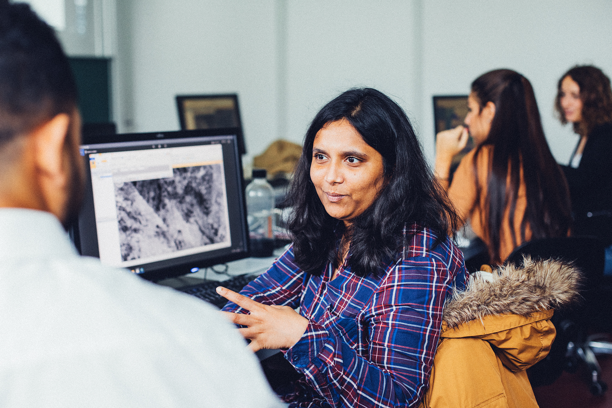
Geodata Science reveals what remains hidden at first glance. It helps us better under-stand our planet and develop solutions to current challenges — for example, in identifying suitable locations for wind turbines, in the early detection and monitoring of wildfires, in the planning of transportation routes, or in flood protection. Through the interplay of geosciences and computer science, a wide variety of data can be integrated to understand and model its dynamics.
International and Interdisciplinary
The international master’s program in Geodata Science at Hochschule Karlsruhe combines theoretical knowledge with practical application in small groups. The program focuses on projects involving various types of big geodata, such as satellite data, social media data, statistical data, sensor/IoT data, and data from simulation models. In addition, “Free to Choose” credits allow students to take courses in other disciplines at Hochschule Karlsruhe, thereby receiving an interdisciplinary education.
Extensive Experience – Up-to-Date Curriculum
The study of geodata has a long tradition at Hochschule Karlsruhe: For 25 years, the university has offered an international master’s program in this field. Starting in the winter semester of 2027, the program will launch under the new name “Geodata Science” with a revised curriculum that puts current topics such as artificial intelligence and climate impacts in the center of the program.
At a glance
| Degree | Master of Science (M. Sc.) |
|
Application deadline WiSe
Application deadline SoSe |
15.09.
01.03. |
| Start Of Study | Winter semester & Summer semester |
| Language of instruction | English |
| ECTS Credits | 90 in total |
| Standard Period Of Study | 3 semesters |
| Admission prerequisites | Pre-study work experience is not required |
| Accreditation | Yes (certificate) |
Is this program right for you?
Here’s what you should bring:
- A strong interest in geoscience topics, (geo)informatics, and physics
- Openness and a willingness to collaborate in international teams
- The ability to work independently, critical thinking, and a critical approach to AI
- Good English skills (B2)
- 6 CP each in programming, GIS, and statistics from your bachelor’s degree
External content
To use this content (Source: www.xyz.de), please click to Accept. We would like to point out that by accepting this iframes data to third parties transmitted or cookies could be stored.
You can find further information in our Privacy policy.
What to expect
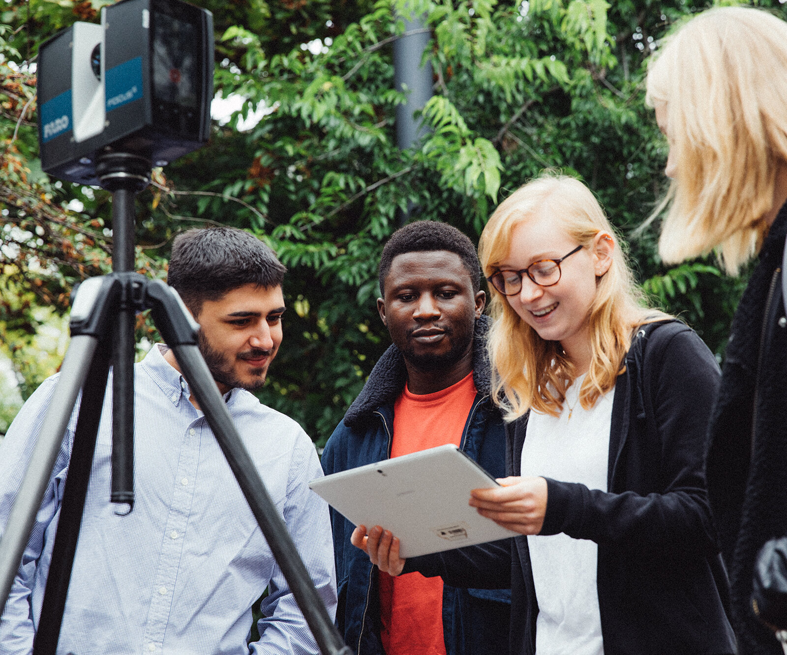
- Practical training in small, international groups
- A curriculum focused on current topics such as AI, climate impacts, the Internet of Things, social media data, and various fields of application (climate, satellite imagery, etc.)
- Direct contact with professors and faculty
- Master’s theses in research and development or industry, either domestically or abroad, are possible
- A region with many employers in relevant fields – for a work-study position during your studies or a direct transition into a job afterwards
- International exchange programs with other universities
- Support and guidance for students provided by the Central Student Advisory Service or the International Office, for example, when facing challenges during the studies