Geodesy and Navigation

Basic studies
In the first two semesters of study, the foundations of mathematics and computer science necessary for this engineering program are laid. You will learn elementary geodetic measurement and evaluation methods with their theoretical background in lectures and apply this knowledge to practical tasks in exercises and projects during your studies.
Linking theory and practical applications, as well as working together in small groups as required along this process, promote understanding of the theory on the one hand, while on the other hand practical skills are developed and the ability to work in a team is strengthened.
Advanced studies
From the third semester onwards, the technical knowledge is deepened and extended to important special fields:
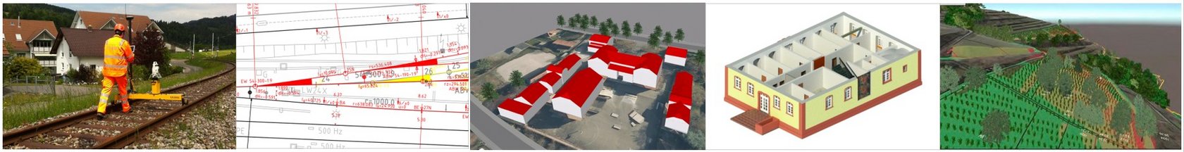
- Image processing, graphic data processing and geo-information systems are important tools for the preparation and visualization of spatial data. Cadastre, land readjustment and land management qualify students for official surveying tasks. Satellite geodesy and mathematical geodesy allow large-scale surveying and calculation of the earth.
- In the field of photogrammetry and remote sensing, objects are measured and analyzed from satellite images, aerial photographs, etc. Engineering geodesy and industrial surveying qualify students for tasks in surveying during construction as well as for precision measurements and quality management in industry.
In the fifth semester, the internship semester, you can use your knowledge in an engineering office, a public authority or another company that you can choose yourself, thus expanding your practical skills.
A variety of elective options open up in the sixth and seventh semesters: You can choose between the specializations "Geodesy" and "Navigation", you take an additional elective subject and conclude your studies with a bachelor thesis in an area of your choice.
Specializations
Bachelor thesis
the great variety of topics available becomes clear in this overview